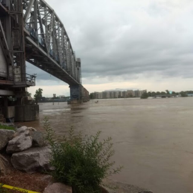
Arkansas River

Arkansas River

Easy/Moderate 1469 miles

About this Waterway

The Arkansas River, America’s sixth-longest at 1,469 miles with about 300 floatable Arkansas miles, enters near Fort Smith from Colorado’s Rockies and flows southeast to the Mississippi River near Arkansas Post. In Arkansas, it offers varied paddling from swift currents to calm stretches. Access points include Maumelle Park, Murray Lock and Dam, Toad Suck Ferry, and Rock Town (Little Rock). Camping is available at: Maumelle Park (tent and RV, full amenities), Toad Suck Park (tent and RV), and dispersed sites in rural sections. Its length and diversity cater to all paddling styles.

Access Points

Maumelle Park

Type: put-in

Coordinates: 34.830805, -92.43035

Murray Lock and Dam

Type: put-in

Coordinates: 34.803268, -92.367622

Toad Suck Ferry

Type: put-in

Coordinates: 35.072988, -92.544234

Two Rivers Boat Launch

Type: put-in

Coordinates: 34.798908, -92.385446

Burns Park Boat Launch

Type: put-in

Coordinates: 34.789999, -92.31595

Murray Park Boat Launch

Type: put-in

Coordinates: 34.786805, -92.334667

North River Landing

Type: put-in

Coordinates: 34.751805, -92.261975

Gribble Street Landing

Type: put-in

Coordinates: 34.748883, -92.229234

Cooks Landing

Type: put-in

Coordinates: 34.801056, -92.355566

Willow Beach Boat Ramp

Type: put-in

Coordinates: 34.701879, -92.139544

David D Terry Boat Launch

Type: put-in

Coordinates: 34.664628, -92.156198

Pinnacle Mountain Boat Launch

Type: put-in

Coordinates: 34.847182, -92.464045

Safety Tips

Activities

Amenities

Current Conditions

Weather information coming soon

Nearby Camping

Camping information coming soon