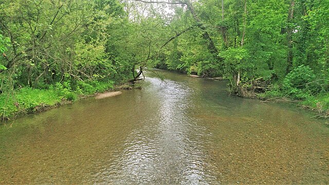
Caddo River
Easy/Moderate
40 miles
About this Waterway
The Caddo River, a serene 40-mile stream, originates in the Ouachita Mountains of Montgomery County and flows southeast to DeGray Lake near Arkadelphia. Known for its clear water and gentle flow, with occasional small rapids, it’s a favorite for family-friendly kayaking and canoeing trips. Key access points include Norman, Caddo Gap, Glenwood, and Hwy 8 Bridge. Camping options feature: Arrowhead Cabin & Canoe campground (tent and cabins), Caddo River Camping & Canoe campground (tent and RV sites), and primitive sites along the river, especially near public access areas. The Caddo’s accessibility and calm nature make it a relaxing paddling destination.
Access Points
Safety Tips
Activities
Amenities
Current Conditions
Weather information coming soon
Nearby Camping
Camping information coming soon