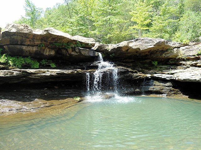
Kings River
About this Waterway
The Kings River, a scenic waterway, flows 90 miles from the Boston Mountains in Madison County, Arkansas, northward to Table Rock Lake on the Missouri border. Starting in rugged highlands, it winds through limestone bluffs and lush valleys, ending in a reservoir known for recreation. Its gentle currents and occasional rapids make it ideal for kayaking and canoeing. Access points include Trigger Gap, Rockhouse, Kings River Falls, Dripping Springs, and Grandview. Camping is available at: Kings River Outfitters campground (tent and RV sites), Trigger Gap Campground (basic tent sites), and dispersed primitive sites along the riverbanks, especially in less developed stretches. The Kings River’s clear waters and tranquil setting draw paddlers seeking a peaceful float amid natural beauty.
Access Points
Safety Tips
Activities
Amenities
Current Conditions
Weather information coming soon
Nearby Camping
Camping information coming soon