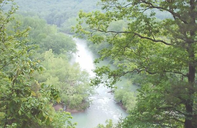
Mulberry River
About this Waterway
The Mulberry River, a designated Wild and Scenic River, stretches 70 miles through the rugged Boston Mountains of northwest Arkansas. It begins in Madison County’s highland forests and flows westward, joining the Arkansas River near Mulberry in Franklin County. Renowned for its challenging whitewater, especially after rain, the river offers thrilling rapids in its upper reaches and calmer pools downstream. Key access points for kayaking, canoeing, and fishing include Wolf Pen, High Bank, Redding, Campbell’s Cemetery, Turner Bend, and Lower Wolf Creek. Camping options range from developed to primitive sites, with notable locations including: Redding Recreation Area (tent and RV, basic amenities), Turner Bend Campground (tent and RV near the river), and Byrd’s Adventure Center (cabins and tent sites). Dispersed camping is permitted along the river’s banks in the Ozark National Forest, offering flexibility for paddlers seeking solitude. The Mulberry’s wild character attracts adventurers year-round.
Access Points
Safety Tips
Activities
Amenities
Current Conditions
Weather information coming soon
Nearby Camping
Camping information coming soon