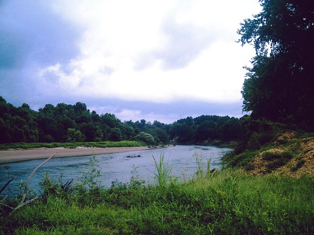
Ouachita River
About this Waterway
The Ouachita River, stretching 605 miles total with about 100 floatable miles in Arkansas, starts near Mena in Polk County’s Ouachita Mountains and flows south, eventually reaching Louisiana’s Felsenthal National Wildlife Refuge. In Arkansas, it offers a mix of gentle stretches and mild rapids, perfect for kayaking and canoeing. Key access points include Hwy 379 (west of Lake Ouachita), River Bluff, Dragover, Fulton Branch, Hwy 298, Remmel Dam, and Rockport. Camping options include: Ouachita River Haven (tent and cabins), River View Cabins (cabins and tent sites), Two Spirits Ltd. (tent sites), and Dragover Recreation Area (basic tent camping); dispersed sites are common in forested areas. The Ouachita’s diverse scenery draws paddlers year-round.
Access Points
Safety Tips
Activities
Amenities
Current Conditions
Weather information coming soon
Nearby Camping
Camping information coming soon