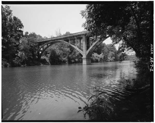
Saline River
Easy/Moderate
202 miles
About this Waterway
The Saline River, a 202-mile Ouachita River tributary with floatable sections, starts near Benton in the Ouachita Mountains and flows southeast to join the Ouachita near Felsenthal. Known for its peaceful, meandering waters, it’s great for leisurely kayaking and canoeing. Access points include Lyle Park, Hwy 5 Bridge, Peeler Bend, and Riverside Park (Benton). Camping options feature: Saline River Canoe campground (tent sites), and dispersed primitive sites along the river’s banks. Its quiet charm suits paddlers seeking a laid-back float.
Access Points
Safety Tips
Activities
Amenities
Current Conditions
Weather information coming soon
Nearby Camping
Camping information coming soon