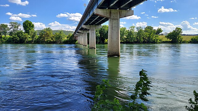
White River
Easy/Moderate
720 miles
About this Waterway
The White River, stretching 720 miles with about 200 floatable Arkansas miles, begins in the Boston Mountains near Fayetteville and flows east to the Mississippi River near Des Arc. Below Bull Shoals Dam, its cold waters are perfect for kayaking and canoeing. Access points include Bull Shoals Dam, Cotter, Buffalo City, and Norfork. Camping options feature: Gaston’s White River Resort (tent and cabins), His Place Resort (tent sites), and Buffalo Point (tent and RV near Buffalo River confluence). Its trout-rich waters add to its paddling allure.
Access Points
Safety Tips
Activities
Amenities
Current Conditions
Weather information coming soon
Nearby Camping
Camping information coming soon